Visibility · smoke · water
Night removes references before it removes objects
An obstacle can remain present, close and completely real while becoming almost undetectable. The central problem is not only the amount of light: it is the loss of contrast, depth and a dependable horizon.
- Published
- Revised
Short answer
Smoke and cloud absorb and scatter light; at night, little ambient light remains to shape their volumes. Over water, missing texture and fixed references can erase height and distance cues. Flames and searchlights also create halos that illuminate nearby particles without revealing what lies behind them.
Key points
Seeing a glow is not seeing terrain
A bright fire can hide a dark ridge and degrade the eye’s adaptation to darkness.
Smoke lights the wrong plane
Particles send light back to the observer and form a veil in front of the obstacle being sought.
Water supplies little scale
Without shore, stable reflection or readable texture, the surface can appear higher, lower or farther away.
The eye needs differences, not only light
Terrain perception comes from edges, shadows, texture and relative motion. A night sky, dark slope and smoke layer can have very similar luminance. Terrain does not physically disappear; its visual cues fall below a useful threshold.
A bright source in the field of view — flame, searchlight or poorly adapted cockpit lighting — reduces sensitivity to faint detail. After looking toward the bright area, a dark obstacle may remain unseen while the eye readapts.
Smoke and cloud scatter light
Droplets and particles scatter light. A beam can produce a white or gray wall in front of the aircraft: it reveals the nearby medium while shortening the view to terrain, a wire or another aircraft.
Density is not uniform. A gap can suggest clearance and close again seconds later. Wind also moves the column and changes the usable axis during the approach.
Dark water can become a “black hole”
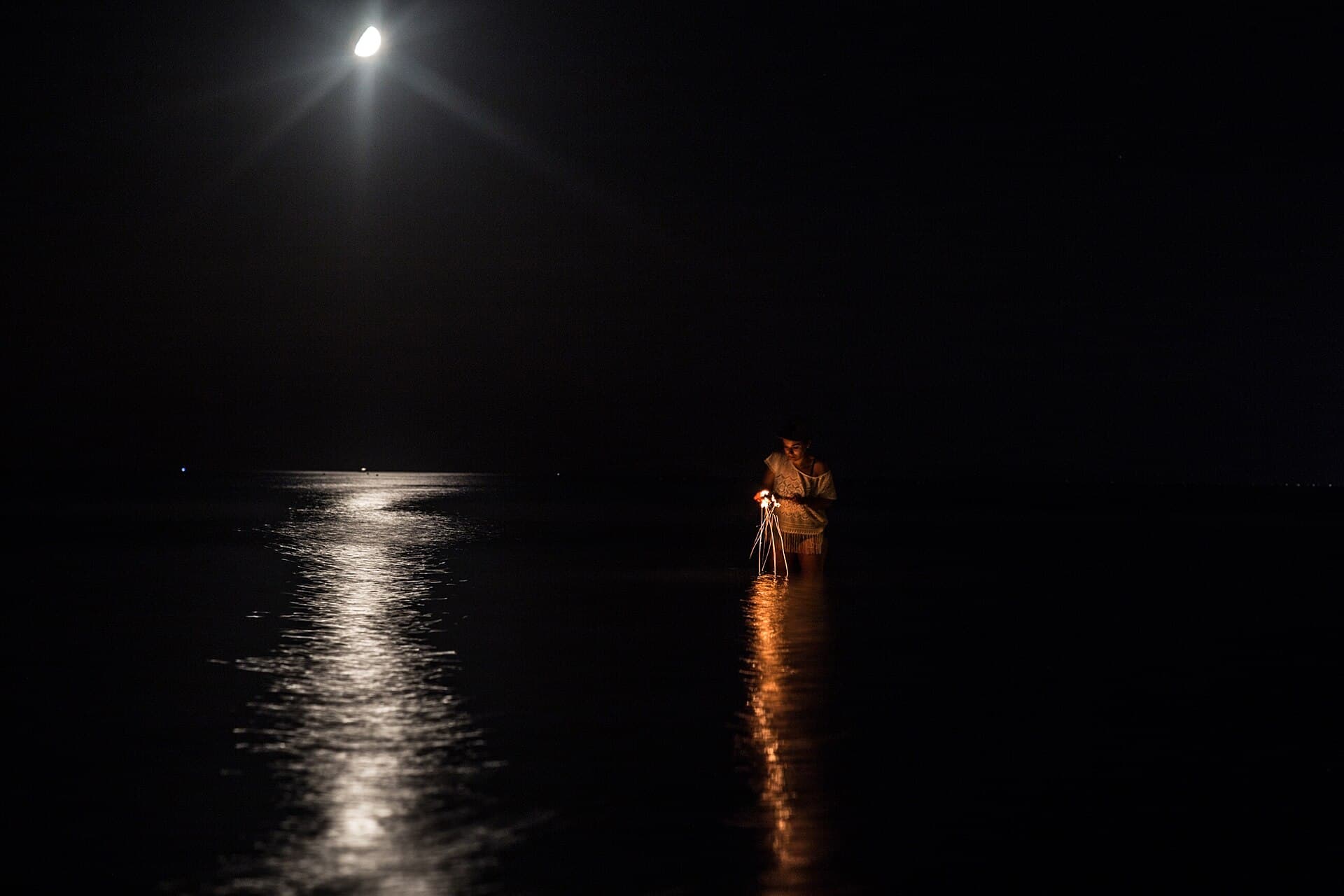
By day, ripples, color, shoreline and horizon indicate height and speed. At night those cues may be absent, especially away from fixed lights. Calm water reflects the dark sky; rough water may reveal waves only at close range.
Instruments measure selected parameters, but scooping remains contact with a real and changing surface. Outside perception, procedures and operational limits must agree.
Sensors help, but each has a domain
Night vision, infrared cameras, radar altimeters, terrain maps and compatible lighting restore different pieces of information. No single sensor simultaneously reveals every wire, water texture, smoke layer, crew and aircraft.
Safe capability comes from certified equipment, its presentation to the pilot, training, crew and procedure. Adding a camera to an aircraft does not by itself authorize a mission.
Common questions
- Can an infrared camera see through all smoke?
- It may distinguish some thermal differences better than a visible camera, but performance depends on wavelength, smoke density, moisture and thermal contrast. It does not turn an opaque environment into obstacle-free space.
- Why not use very powerful searchlights?
- Among particles, more light can mean more near-field return and a brighter halo. A searchlight can help within a specific procedure without creating a long-range view of terrain.
- Why can a photograph look brighter than what a crew saw?
- A camera can collect light over a long exposure, lift shadows and freeze a selected instant. A pilot must perceive the scene in real time, with motion, glare and continuous change.
Primary sources consulted
Revised · July 29, 2026