Air operations · verifiable answer
Why are firefighting aircraft often inactive at night?
Darkness does not make an aircraft unable to fly. It mainly removes the outside references on which a low-level tactical pass depends, among terrain, smoke and a busy incident airspace.
- Published
- Revised
Short answer
Most drops stop at night because aiming at a line, avoiding terrain and obstacles, maintaining separation and sometimes scooping water require dependable outside visual references. Specially equipped helicopters, qualified crews and an authorized organization can conduct some night missions. That exception does not turn the whole fleet into a night-capable force.
Key points
Flying is not dropping
Instrument cruise flight and a low, slow, precise drop pass in smoke do not carry the same hazards.
Water loses its shape
A dark surface can remove horizon, distance and apparent height while scooping requires fast, stable contact.
The exception is a system
Night vision, compatible lighting, training, maintenance, command and procedures must all be present.
A drop pass depends on the visible world
An airtanker does more than fly to coordinates. It must identify a target, read smoke and wind, hold an axis, avoid wires, towers, ridges and other aircraft, then release at a height compatible with the intended effect. Vertical margin is small and the scene changes during the pass.
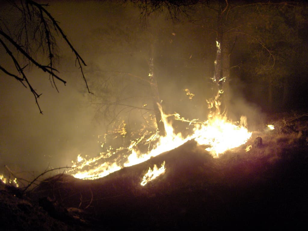
At night, the horizon, terrain shadows and ground texture disappear. Firelight can dazzle without revealing obstacles; smoke scatters that light and alternately hides the target and its references. The technical ability to keep an aircraft airborne is therefore not enough to make the tactical mission acceptable.
Scooping combines speed, surface and obstacles
An amphibious airtanker collects water while planing at speed on a surface that is long, deep and clear enough. The crew must read the water, hold the line, anticipate boats and shores, then depart while mass rises quickly.
In darkness, calm water can look like a black plane without scale; waves, mist and reflections make perception harder. This is why a night helicopter capability does not automatically mean that an amphibious aircraft can scoop at night.
Safety also depends on the whole ground chain
Air operations rely on controllers, airborne coordination, crews identifying the target, bases, maintainers and incident command. Darkness reduces shared references and makes crews, lines and hazards harder to identify.
When flying pauses, firefighting does not stop: ground crews continue structure protection, line construction, mop-up, patrol and preparation for the next operational period. Aircraft may also be maintained, fueled and repositioned before dawn.
Yes, some units fight fire at night
Specialist programs use helicopters and crews qualified for night-vision operations. They work inside a defined system with a compatible aircraft, procedures, recurrent training and an incident-specific operational decision.
Two shortcuts should therefore be avoided: “no aircraft ever flies at night” is false, and “an equipped helicopter can replace the entire daytime fleet” is also false. The useful question concerns the mission, equipment, crew, weather, terrain and authorization at that time.
Common questions
- Why not simply fly on instruments?
- Instruments let a pilot control the aircraft without an outside horizon, but they do not automatically reveal a drop target, an unmapped wire, moving smoke or a ground crew. A tactical pass needs different procedures and capabilities.
- Do night-vision goggles solve everything?
- No. They amplify available light and have limits in smoke, halos, contrast and field of view. They must be integrated with a compatible aircraft, cockpit, training program and operational organization.
- Does an empty aircraft map at night prove that response stopped?
- No. It only shows signals received and published. Crews may be working on the ground, aircraft may not provide a usable position, and night capability may exist outside receiver coverage.
Primary sources consulted
Revised · July 29, 2026
- Assemblée nationaleSécurité civile et moyens aériens de lutte contre les feuxOpen source
- U.S. Department of the InteriorInteragency Helicopter Pilot Practical Test StandardsOpen source
- CAL FIRES-70i Firehawk night operationsOpen source
- Sécurité civileMoyens aériens et terrestresOpen source
- National Interagency Fire CenterTactical aircraft resourcesOpen source